USA map coloring pages
USA Map Coloring Pages, Free to Print
Twelve map pages: the fifty-state outline, a labelled version with abbreviations, four regions and single-state outlines for Texas, California, Florida and New York, each a PDF in A4 and US Letter. USA map pictures to color, from the whole country to single states.
Every map design in this set
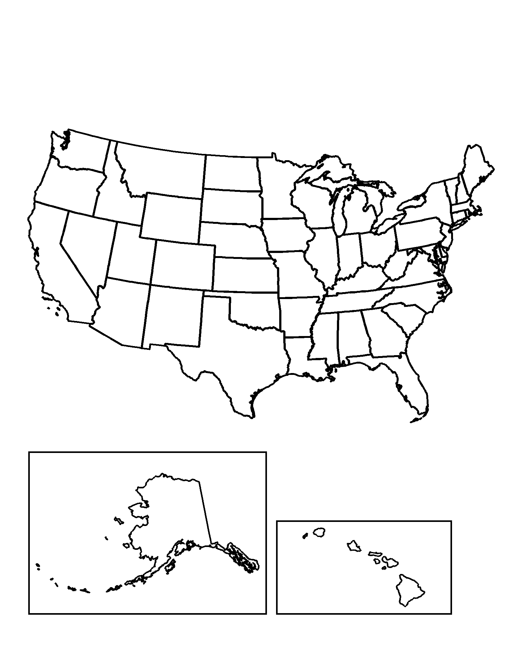
Fifty-State Outline
Fifty states, all borders, no labels — the worksheet version.
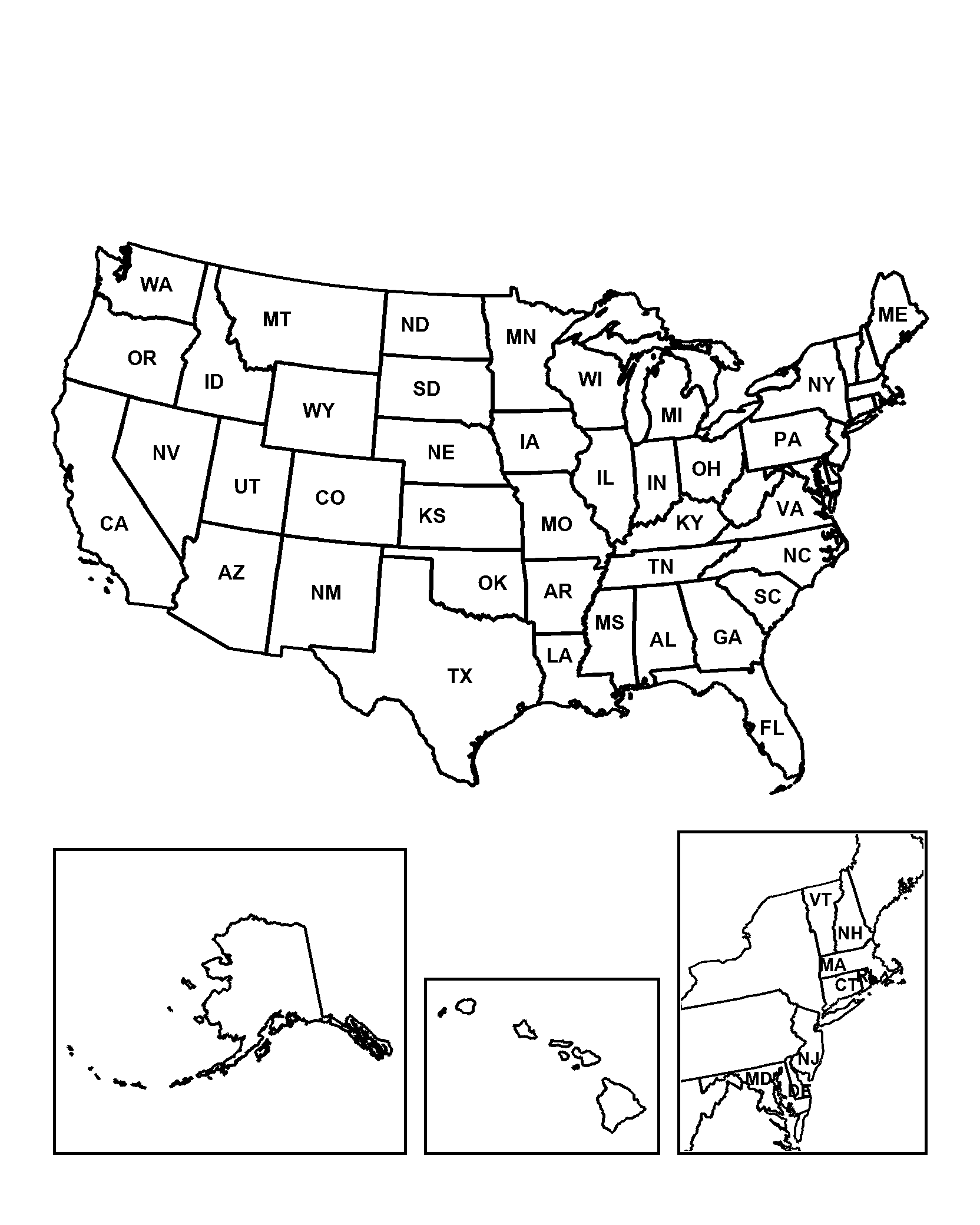
Labelled United States
Every state carrying its two-letter abbreviation, Northeast in an inset.
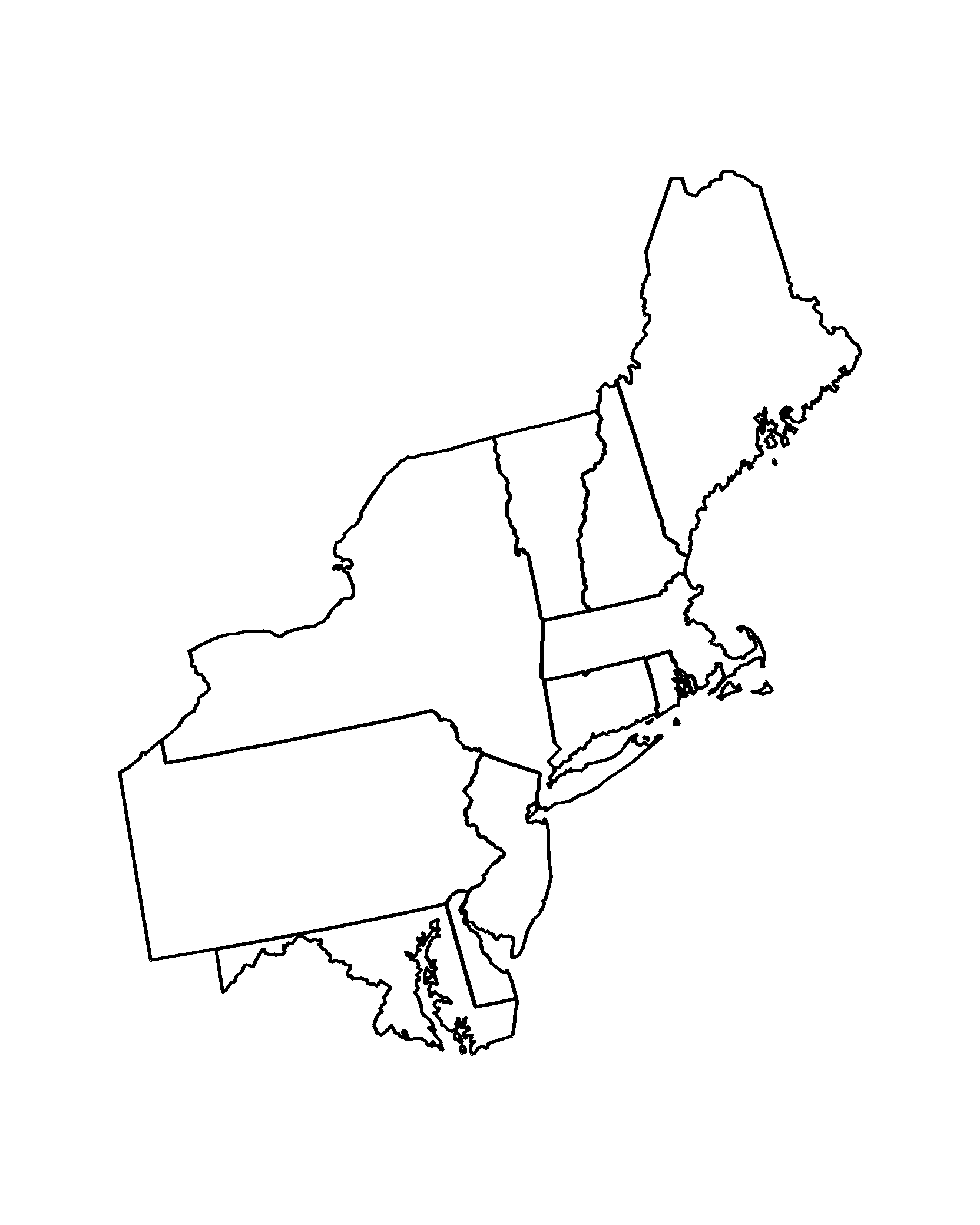
Northeast Region
Maine to Maryland, borders drawn clearly, unlabelled.
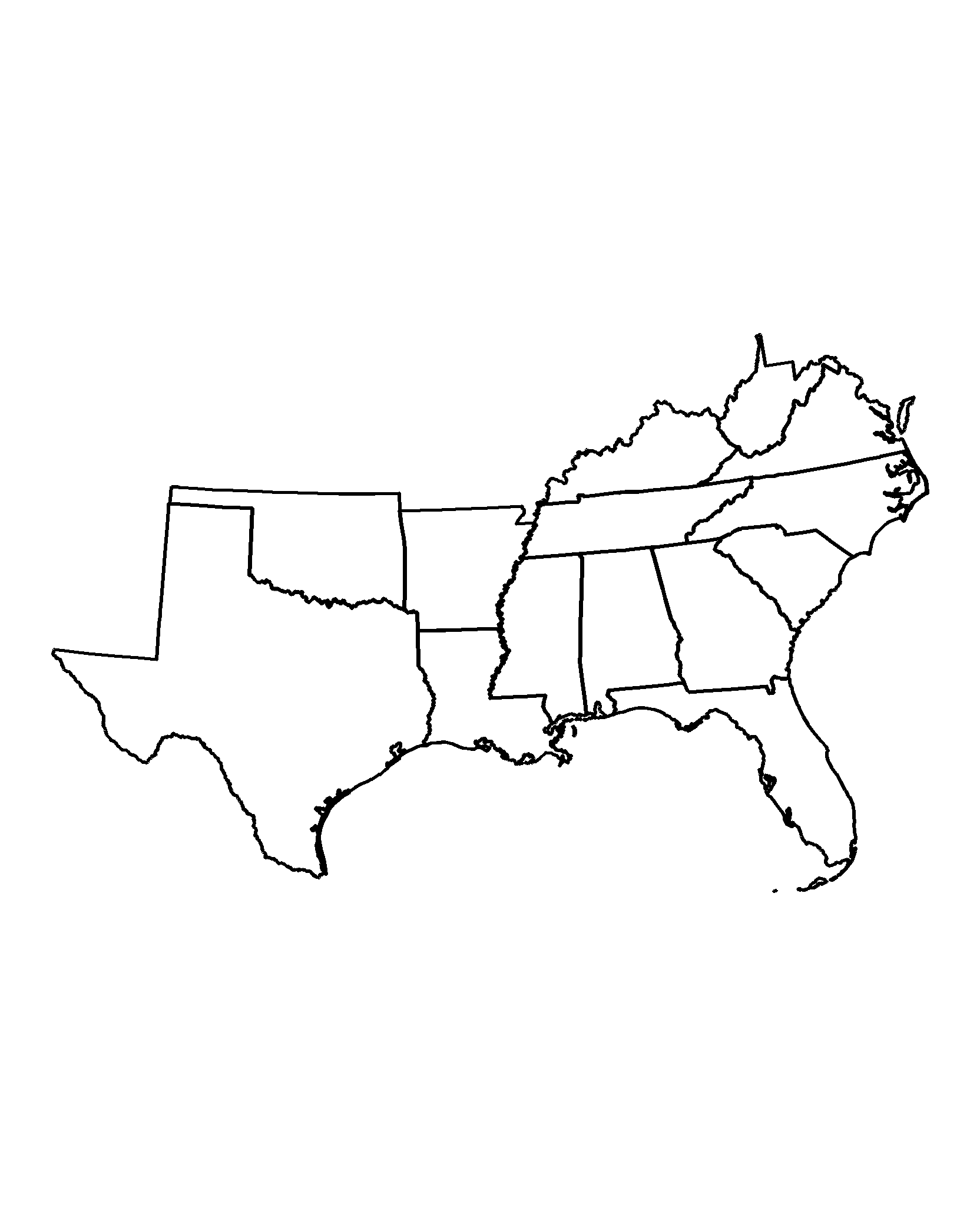
Southern States
Virginia to Texas, with the Gulf coastline in full detail.
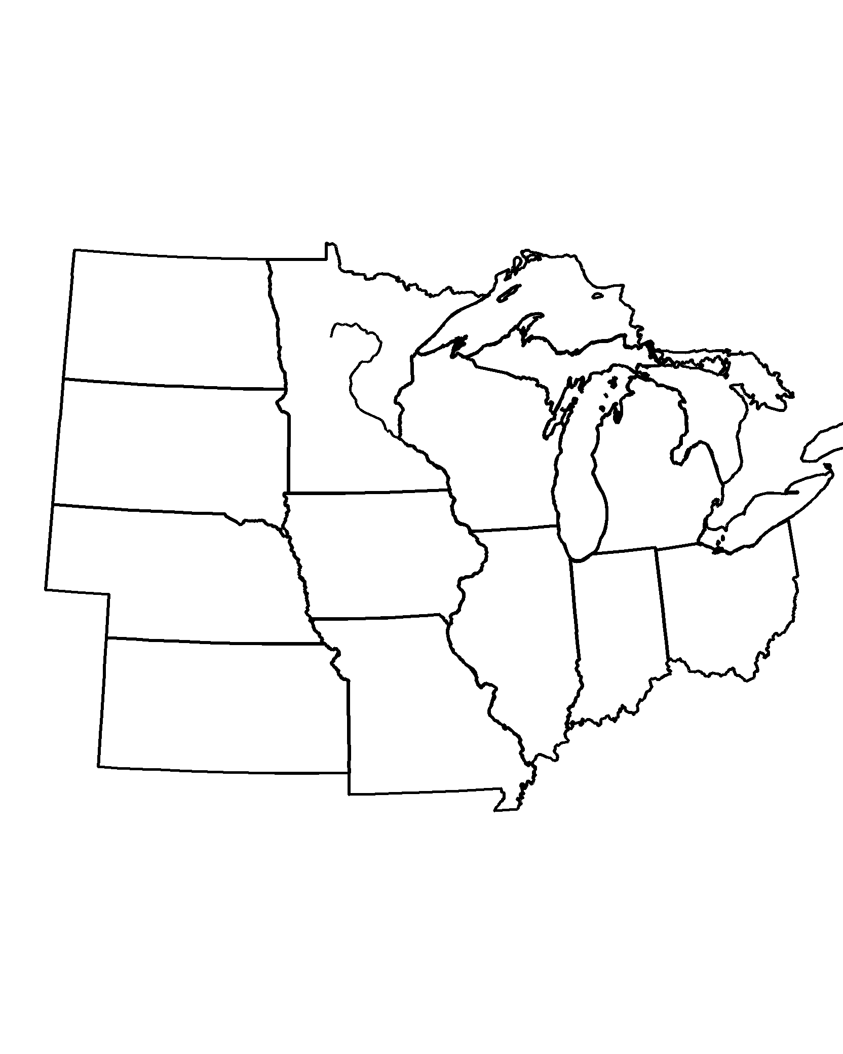
Midwest Region
Ohio to the Dakotas, the Great Lakes and the Mississippi marked.
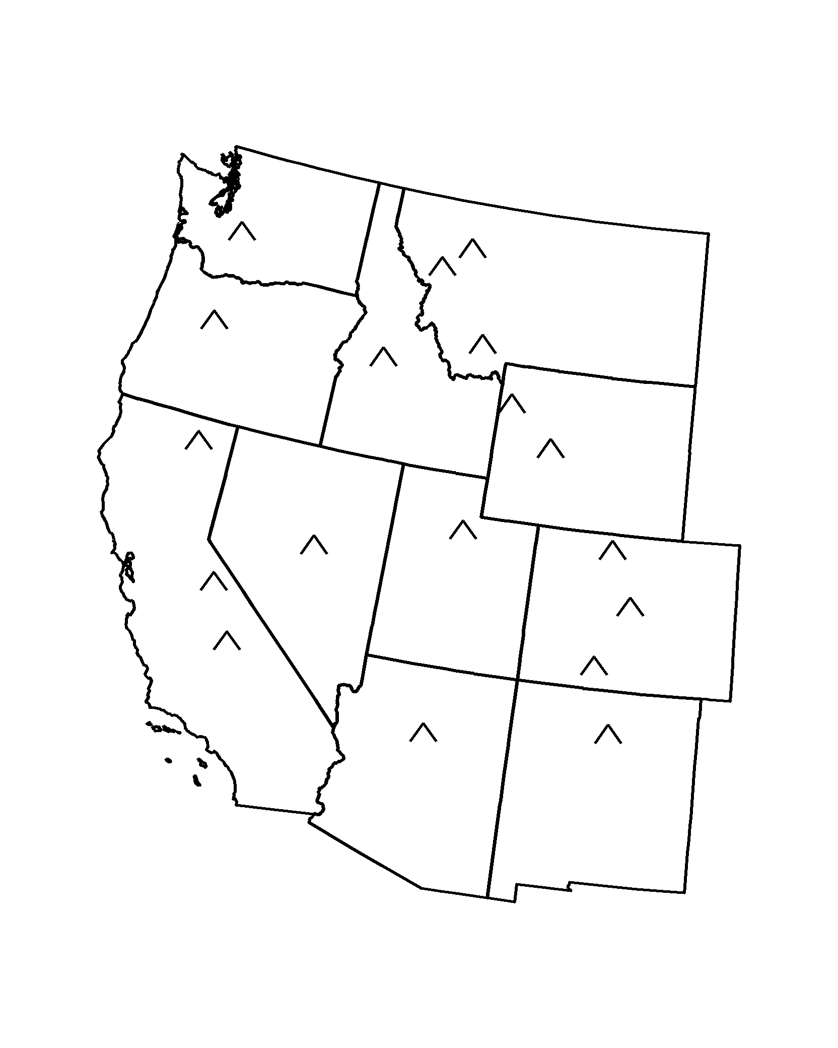
Western States
Rockies to the Pacific, with mountain symbols across the interior.
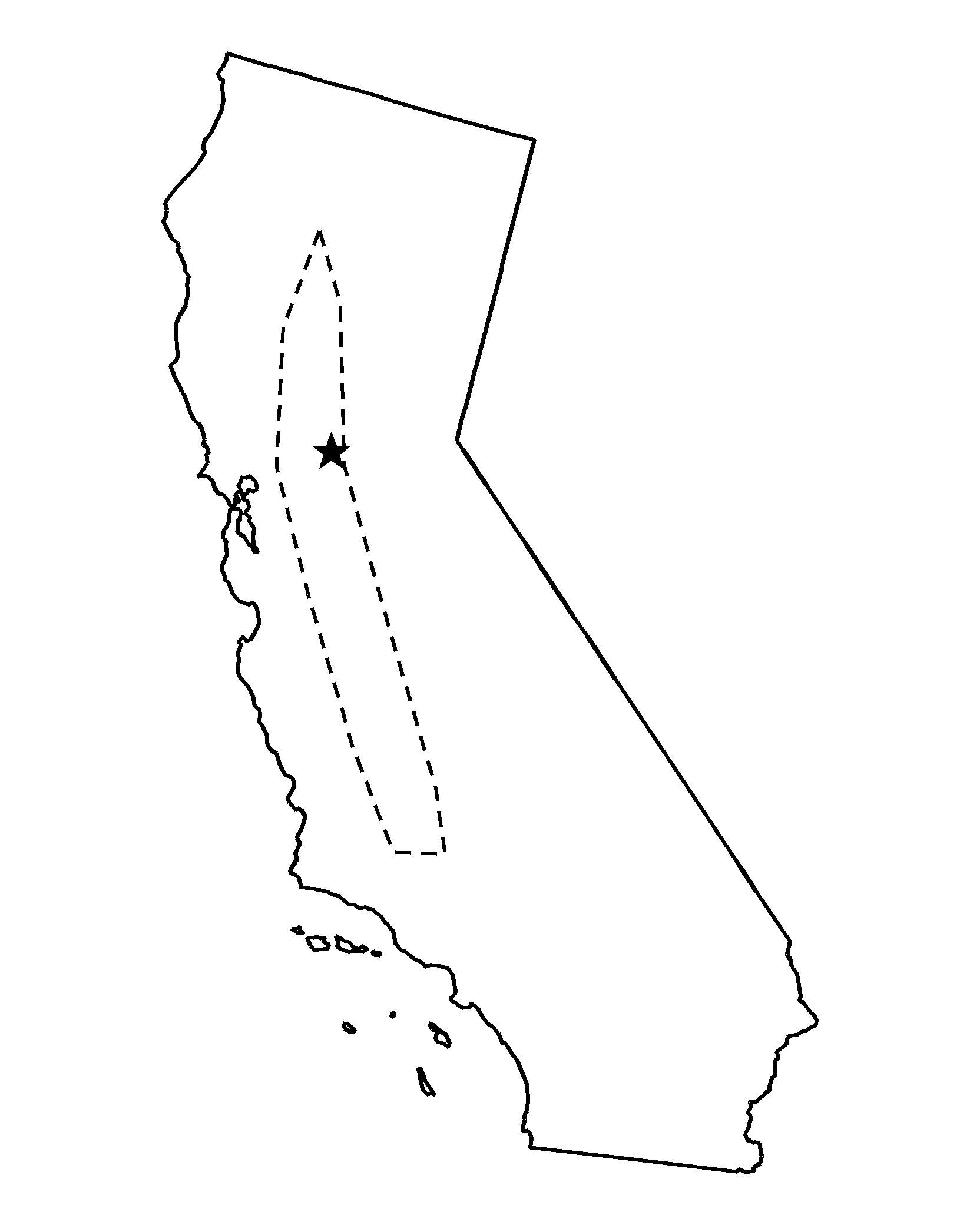
California
California with its coastline, the Central Valley and a star at the capital.
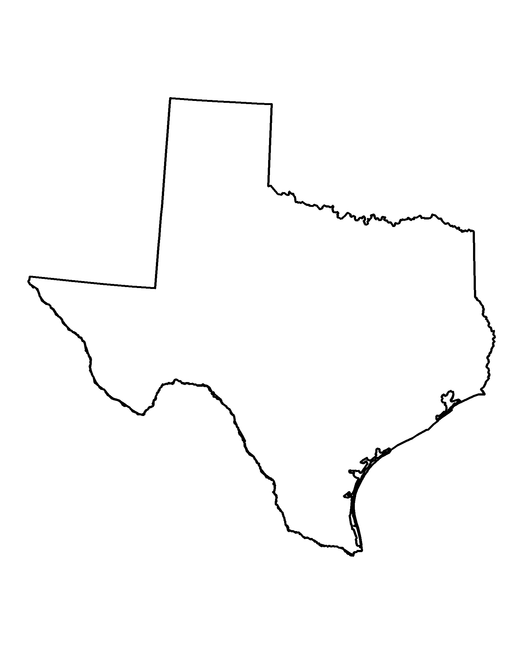
Texas
Texas with the panhandle, Gulf coast and the Rio Grande border.
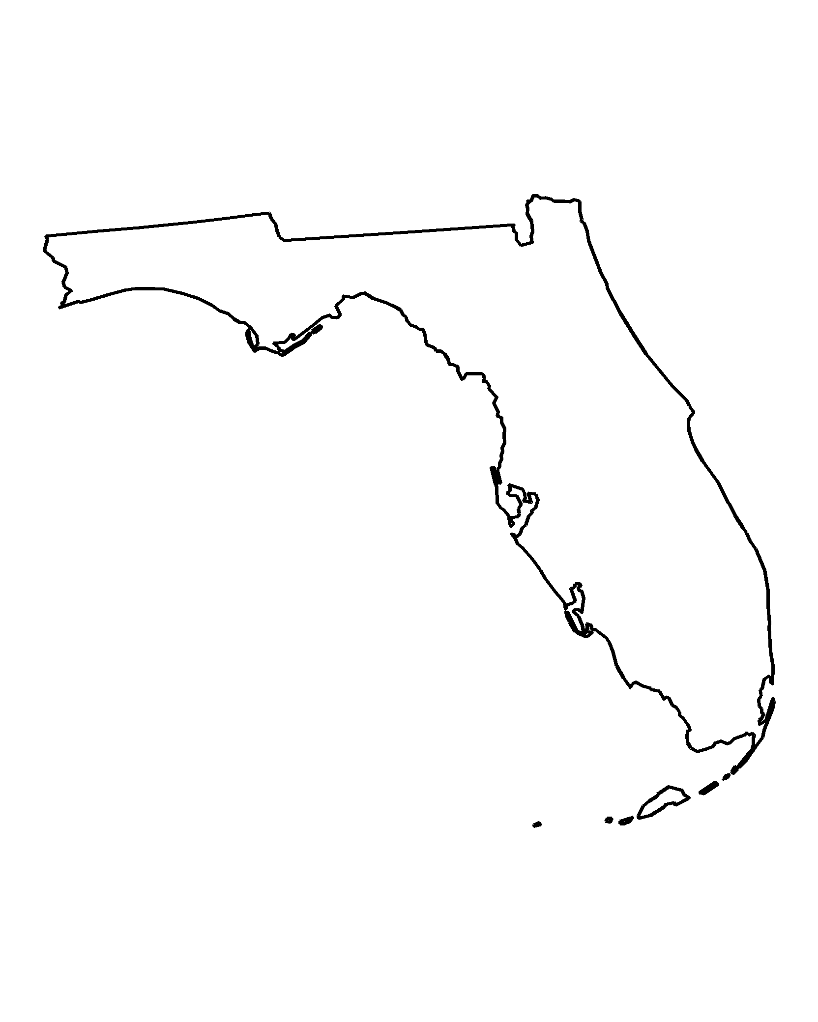
Florida
Florida with its panhandle and the island chain off the southern tip.
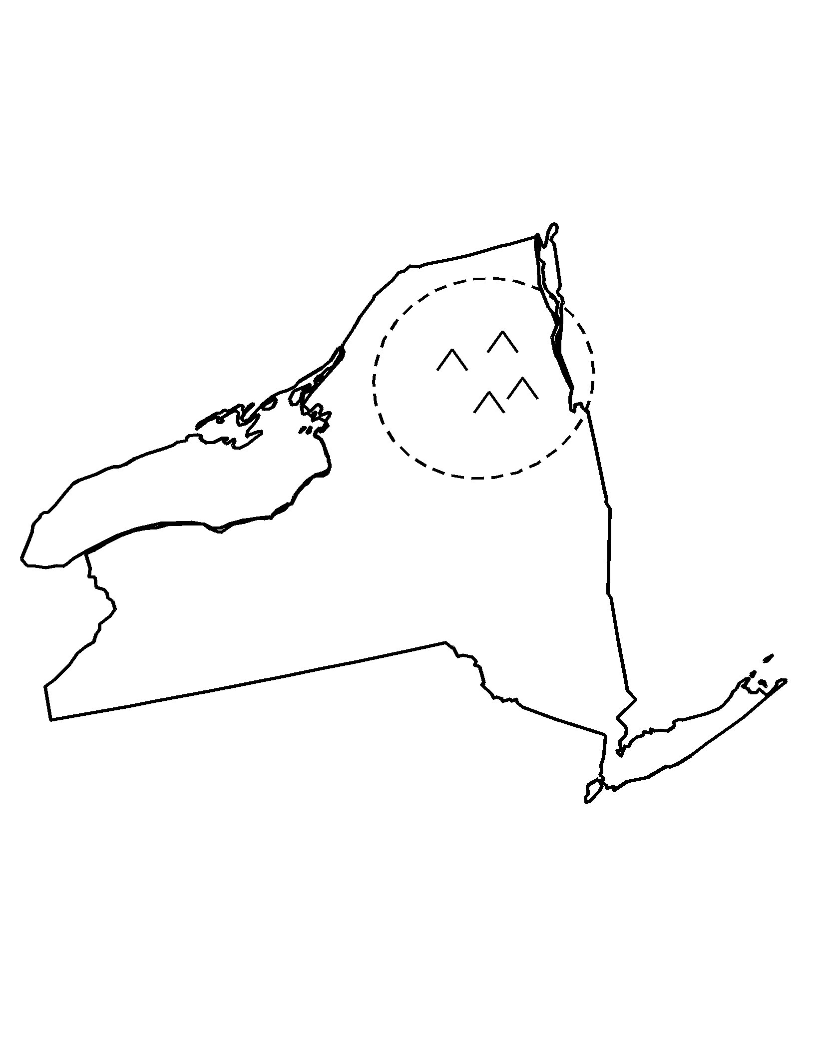
New York
New York with Long Island, the Adirondacks and Lake Ontario.
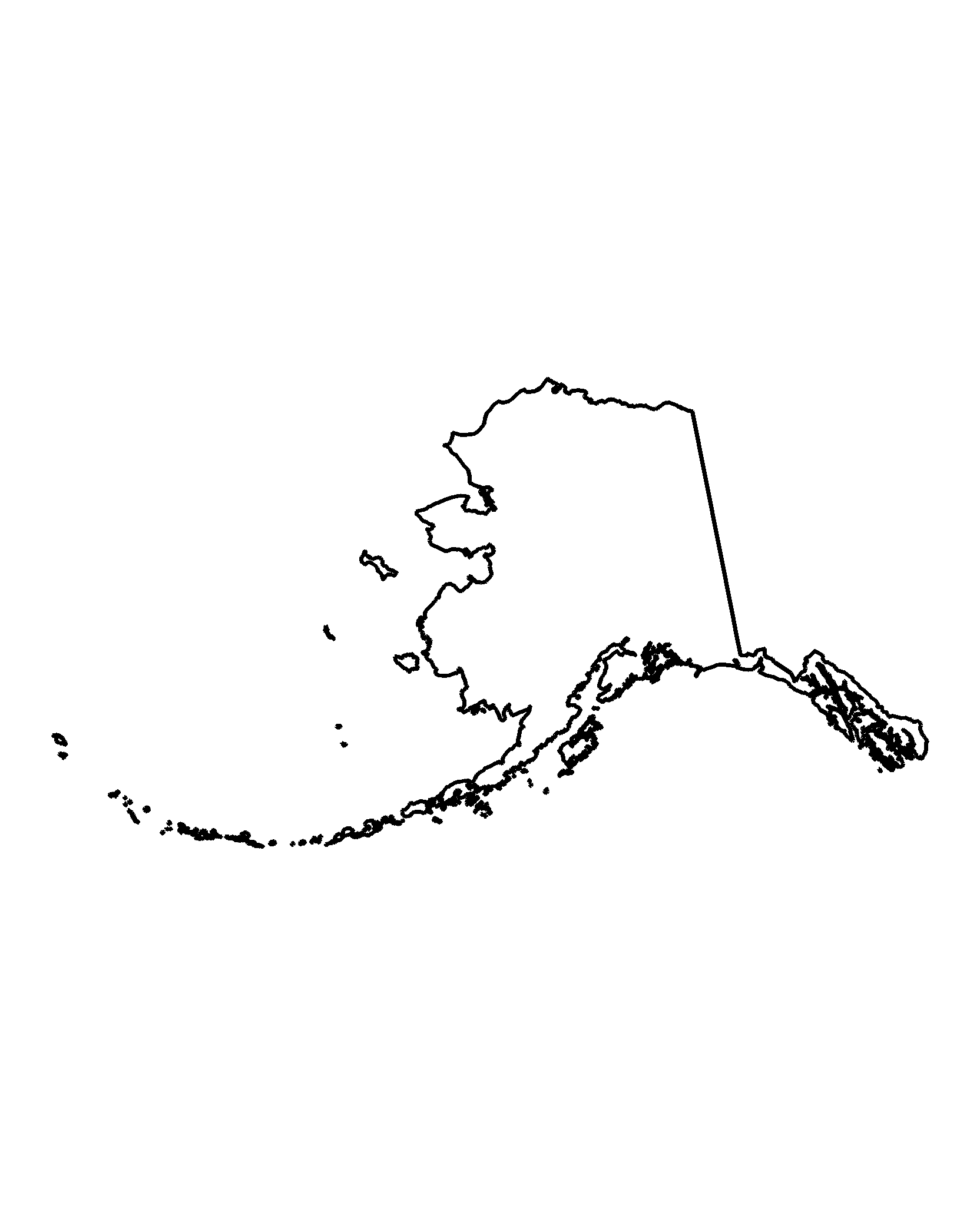
Alaska
Alaska at true size, the Aleutian chain running west.
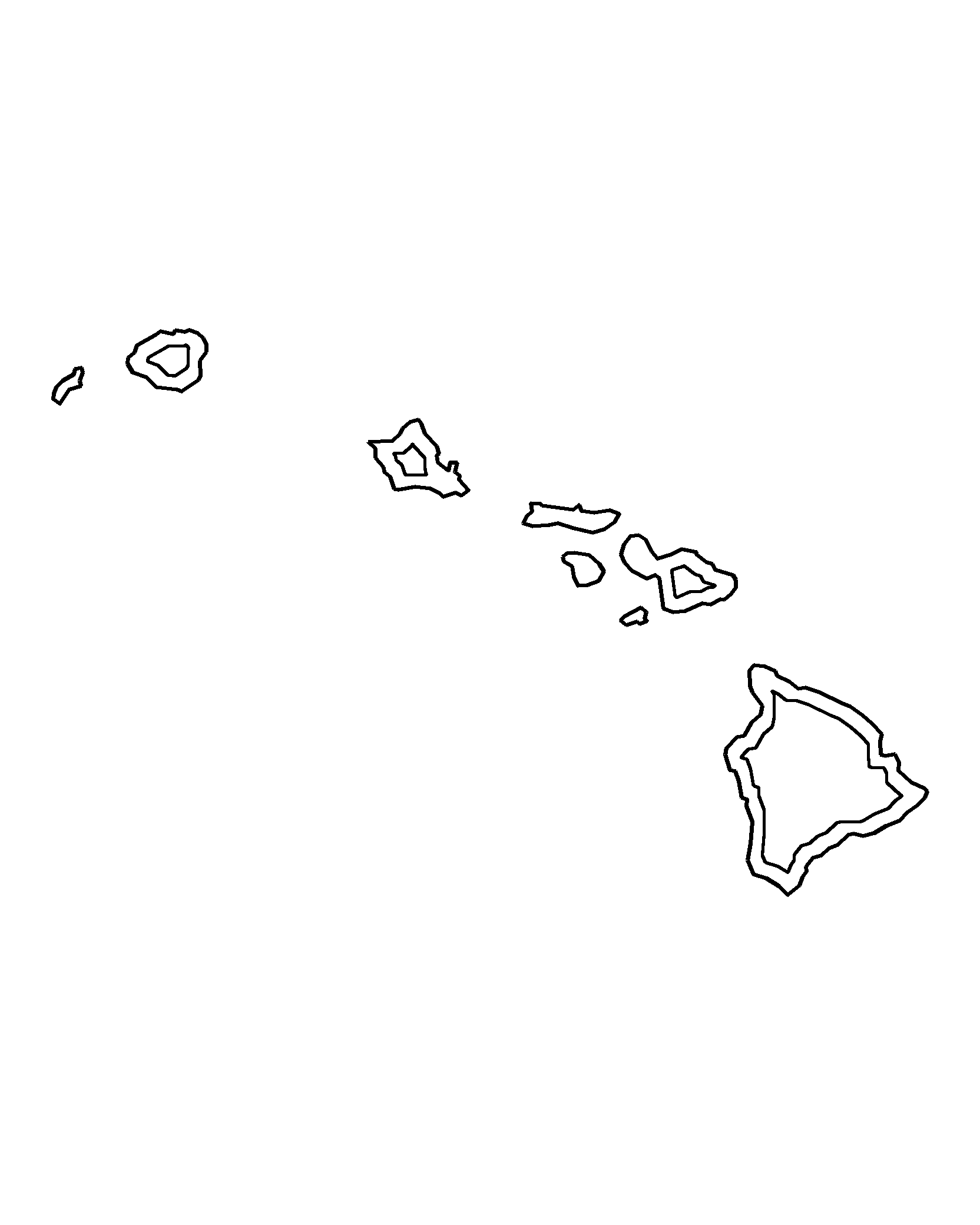
Hawaii
The Hawaiian islands from largest to smallest in a single row.
Why a map page is different from every other page here
Every other set on this site asks a child to colour a subject. A map asks them to colour a place, and that changes what the page is for. A US map coloring page gets used for three things: a geography lesson, a road trip activity, and a classroom display where each child colours the state they are from.
That last use is the reason this set includes a single-state version of the big ones. In a class of twenty-eight, handing out one national map means twenty-eight children colouring the same outline. Handing out Texas, California, Florida and New York means four tables with something different on each.
The one decision that matters: state lines or state names
Both versions are here, and the choice is not cosmetic. A map with state outlines and no labels is a worksheet — children have to know or guess which state is which, which is the point of a geography exercise. A map with abbreviations is a reference sheet, and it is the right choice when a child is colouring by region or marking a trip route rather than being tested.
The labelled version puts the two-letter abbreviation inside each state, centred and sized to fit the smallest states. That means the Northeast appears in an enlarged inset rather than as four unreadable specks, which is how every printed classroom map handles it.
What is in the set
Twelve pages: the fifty-state outline, the labelled fifty-state map, four regional maps (Northeast, South, Midwest, West), single-state maps for California, Texas, Florida and New York, plus Alaska and Hawaii at their own scale rather than crammed into the corner.
Alaska and Hawaii are drawn at true relative size on their own pages. On a standard US map they are inset and shrunk, which makes Alaska look smaller than Texas — a fact most children find genuinely surprising when they see the real comparison.
Printing a map so the borders stay visible
State borders are thin by nature, so this is the one set where print settings matter most. Print at 100 percent with Fit to page off. Fit to page scales the image down to the printer's unprintable margin, and on a map that is how you lose the outer border of Washington state or the tip of Maine.
Plain copier paper is fine. If the map is going on a wall, print on 32 lb or cardstock — thin paper curls at the edges within a day.
Using maps in a classroom
The most useful version for a lesson is the unlabelled outline printed at A3 if your printer allows it, with children filling in the states they can name first and then checking. For a display, the labelled map makes a good base: colour by region, then pin names or photos around the edge.
The full holiday and seasonal library is on the holiday coloring pages hub, including the patriotic sets that pair with this one.
Questions parents and teachers ask
Is there a version with state names?
Two versions, and the choice changes the exercise. The unlabelled outline is a worksheet — a child has to know or guess which state is which. The labelled version puts a two-letter abbreviation inside every state and is the right one when a child is colouring by region or tracing a trip route.
Why are Alaska and Hawaii on separate pages?
On a standard US map Alaska is shrunk and inset, which makes it look smaller than Texas. Here both Alaska and Hawaii are drawn at true relative size on their own pages, so the comparison is honest.
Why is the edge of the map cut off?
Probably Fit to page. It scales the image down to the printer's unprintable margin, and on a map that is how the outer border of Washington state or the tip of Maine disappears. Print at 100 percent with Fit to page off.
Can I use these in a classroom?
Yes. The single-state pages exist for that: hand out Texas, California, Florida and New York so four tables each get something different instead of twenty-eight copies of the same outline.
Can I print these as pictures to color?
Yes. Every map page here is a picture to color in its own right: tap A4 or US Letter and you get one drawing on one sheet, centred with even margins. Print it once at home or thirty times for a class.